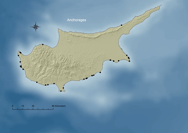
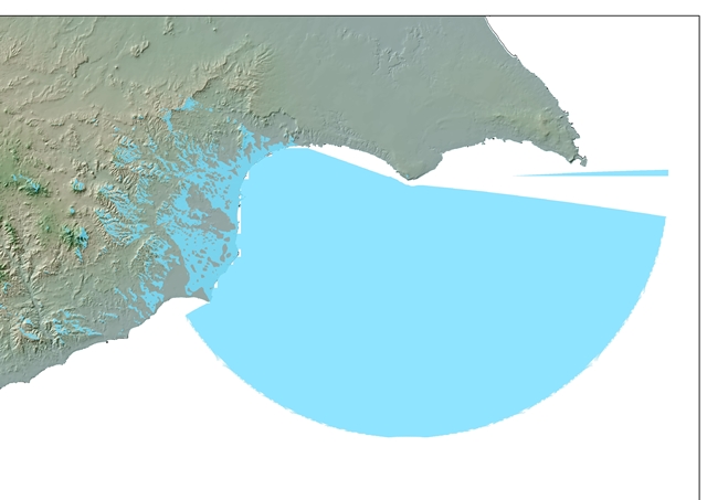
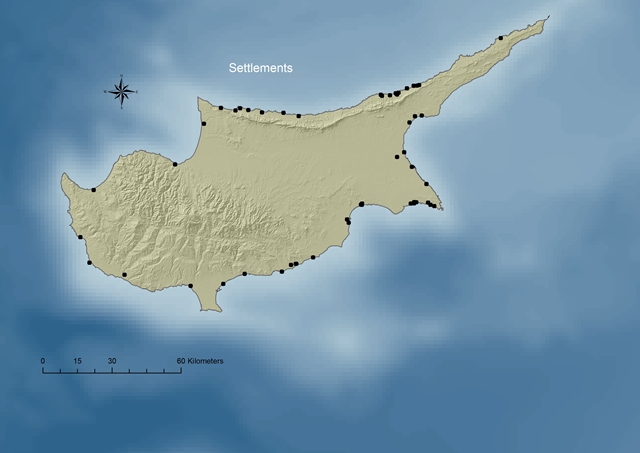
| GIS was used for mapping all the coastal and underwater data of the island from Late Bronze Age until Late Antiquity. The data are divided according to their chronology, typology (harbour, settlement, and industrial site), remains (pottery, stone anchors, and buildings), and location of the remains. The created maps facilitated a comparative study of the data, providing useful insights into the coastal landscape of the island diachronically. |
 |
 |
 |